Powering the Future
AI of Urban Intelligence
Join our network of certified drone pilots and help cities
become cleaner, safer, and more efficient by capturing real-time aerial data.
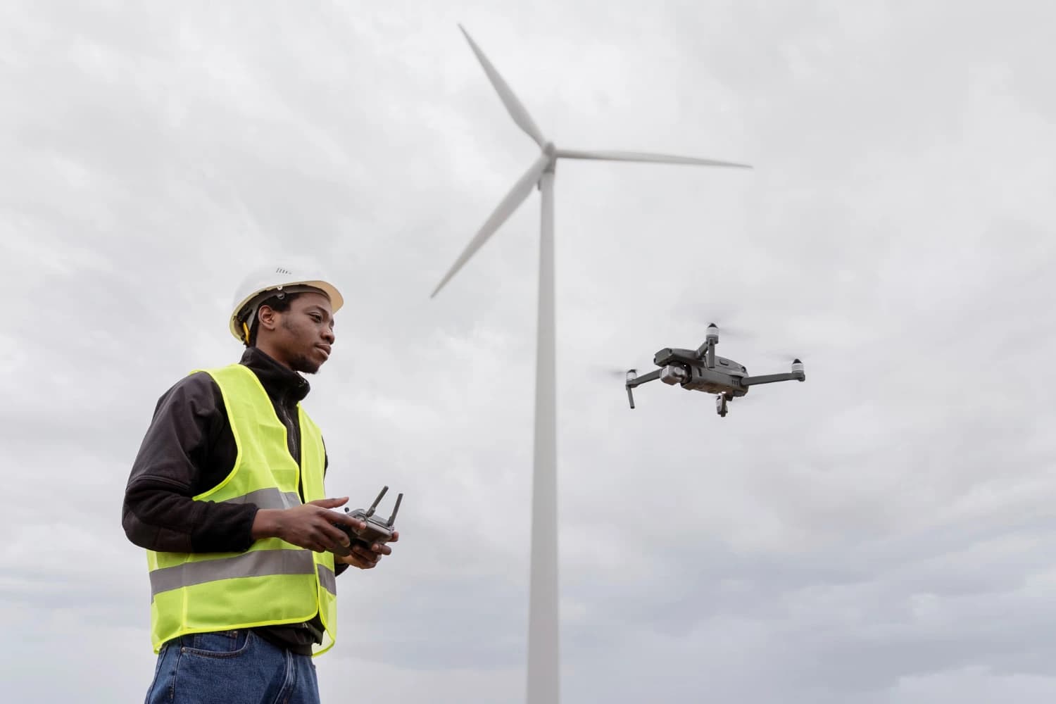
Your flights provide critical, actionable intelligence on waste, road, and traffic conditions that directly improve urban life.
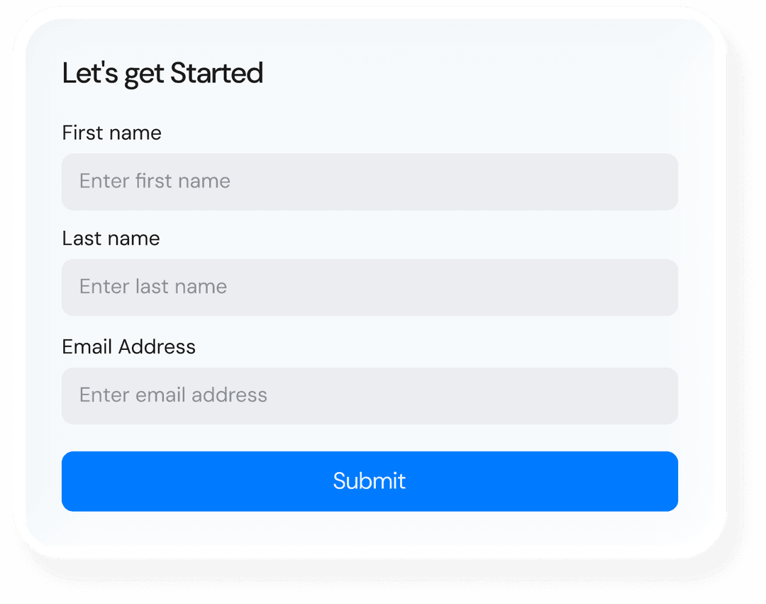
Our dedicated Pilot Application makes mission management, flight planning, and data submission simple and efficient.
Accept flight missions that fit your schedule and availability across your local environment.
Earn great rates for your expertise in flight planning and data acquisition.
Our simple four steps a pilot follows, from mission assignment to payout.
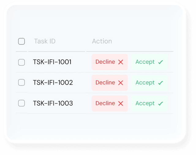
You are assigned a scheduled flight mission based on a city's request
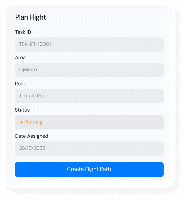
Use the LisaVue Pilot App to go to the assigned location and intuitively plan your flight path, ensuring optimal coverage
Execute the mission, flying your certified drone to capture the required high-quality aerial footage and data.
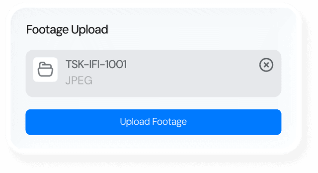
Return to app to easily upload the drone footage. We handle the data processing; you get paid!
Turn footages into actionable data using the Lisavue platform

